Petaluma Water Ways
A River Trail Network
The full and original Petaluma Water Ways (PWW) map. Can you spot the projects that are already finished? How about those that are underway, or those you could adopt to complete with your local club or organization? More than a specific plan, PWW is a vision of an interconnected water trail for the local and visiting community whose constants are: purpose, support, leadership, public outreach and signage.
A dream, and a reality
Petaluma Water Ways (PWW) is a plan with 34 interconnected projects to improve waterfront trails and river access. It was created by the Petaluma Small Craft Center and the National Park Service and adopted by the City of Petaluma in 2013. This vision builds on the 1996 Petaluma River Access and Enhancement Plan. Now is the time to update and reimagine it to meet today’s needs and create a vibrant, accessible riverfront for everyone.
The gallery shows some of the original proposal pages. A large map is also available in physical form. Please contact us at info@thefloathousepetaluma.org if you'd like to learn more or have an original large map.
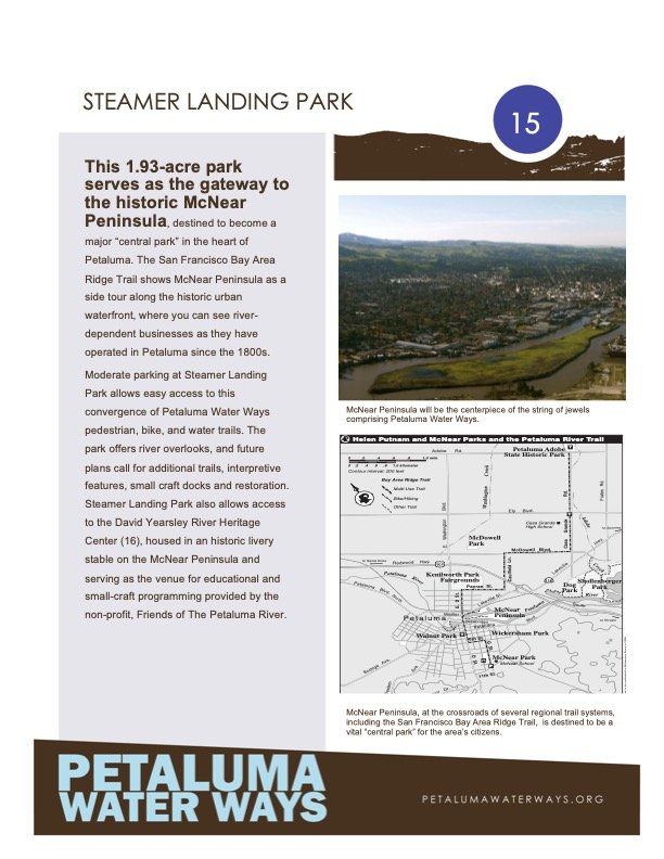
The Floathouse Petaluma is more than just a boat rental center for locals and visitors; it’s part of much larger visions. For example, it’s not only a site on the San Francisco Bay Area Water Trail, but also the first site to be realized in the 34-project Petaluma Water Ways (PWW) River Trail Network.
We are trail blazers, and we invite you to learn more about PWW and the opportunities to envision and build Petaluma River’s access trail, project by project. Join us in revitalizing this overarching river trail plan so that Petaluma can reclaim its place and role as a vital Bay Area River Town, a gem for all to enjoy.

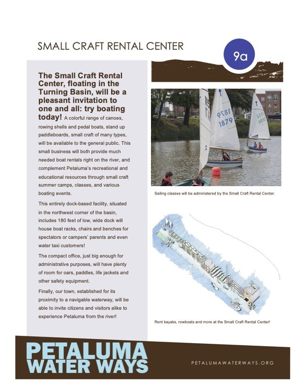
Small Craft Rental Center: The Floathouse as a Petaluma Water Ways Proposal (c.2010)

A proposal for a stacked seating area at the C. Street pump house (c. 2010)

A proposal for a community boathouse for all the local boating clubs (c. 2010)

Proposal for a simple launching and landing ramp and fishing pier at the end of C. Street (2010)

A circa 2010 proposal for a revival of the downtown trestle, which is now in the City budget.

The "Petaluma River Park" in its first iterations, as part of Petaluma Water Ways


